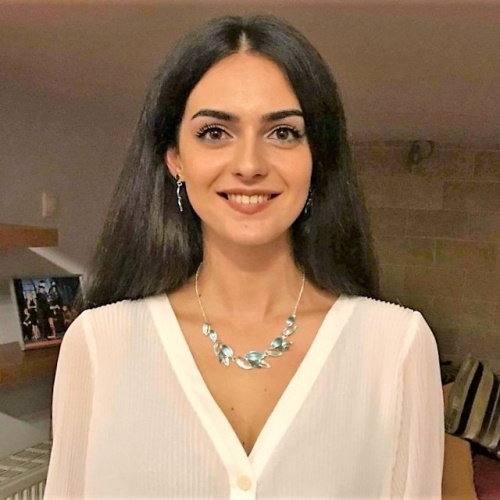
Anastasia Yfantidou

PhD Candidate
Department of Civil Engineering and Geomatics
anastasia.yfantidou@cut.ac.cy
2500 2309
Anastasia Yfantidou completed her undergraduate degree at the Department of Geography at Harokopio University of Athens, where she was an active member of the Spatial Analysis Research Group. Her distinct performance was justified by the introduction of Big Data analysis, management and interpretation. She further holds an MSc degree with distinction in “Geoinformatics and Geospatial Technologies” from the Department of Civil Engineering and Geomatics of Cyprus University of Technology, where she is currently a PhD Candidate in “Remote Sensing, Geoinformatics and Earth Observation”.
In 2015, she was awarded a certificate of appreciation from HERE Map Creator Expert Community, as [...]
Selected Publications
- Fylaktos, A. & Yfantidou, A., "Using remote sensing to predict earthquake impacts", Proc. SPIE 10444, Fifth International Conference on Remote Sensing and Geoinformation of the Environment (RSCy2017), 104440L (6 September 2017); doi: 10.1117/12.2279669; https://doi.org/10.1117/12.2279669
- Yfantidou, A. & Hadjimitsis, D., "Comparison of classification algorithms on optical satellite imagery for mapping posidonia oceanica meadows: the case study of Limassol, Cyprus", Proc. SPIE 11174, Seventh International Conference on RemoteSensing and Geoinformation of the Environment (RSCy2019), 111740G (27 June 2019); doi: 10.1117/12.2533462; https://doi.org/10.1117/12.2533462
- Hadjimitsis, D., Schreier, G., Kontoes, H., Ansmann, A., Komodromos, G., Themistocleous, K., Neocleous, K., Michaelides, S., Mamouri, R., Papoutsis, I., Bühl, J., Schwarz, E., Melillos, G., Tziortzis, S., Danezis, C., Nisantzi, A., Mettas, C., Papoutsa, C., Tzouvaras, M., Evagorou, E., Agapiou, A., Miltiadou, M., Christofe, A., Prodromou, M., Loulli, E., Yfantidou, A., Alverti, M., Lysandrou, V., Polydorou, T., Kyriakidis, P., Kyriakides, N., Akylas, E., Anayiotos, A., Ambrosia, V., Maranesi, M., Zeil, P., Halounova, L., Barok, D., and Cheli, S., "The ERATOSTHENES Centre of Excellence (ECoE) as a digital innovation hub for Earth observation," Proc. SPIE 11418, Detection and Sensing of Mines, Explosive Objects, and Obscured Targets XXV, 114180F (24 April 2020); https://doi.org/10.1117/12.2567070
- Prodromou, M., Yfantidou, A., Theocharidis, C., Miltiadou, M., and Danezis, C., “Analysis of radar and thermal satellite data time-series for understanding the long-term impact of land surface temperature changes on forests”, EGU General Assembly 2020; https://doi.org/10.5194/egusphere-egu2020-10582
