Charalampos Louka
Research Associate
Department of Civil Engineering and Geomatics
charalampos.louka@cut.ac.cy
25002500
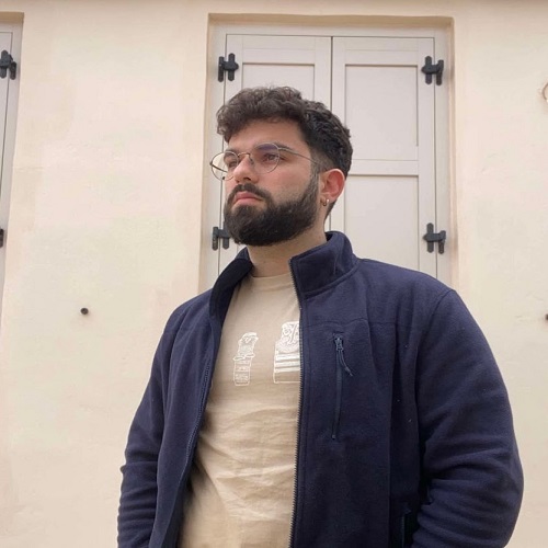
Charalampos Louka is a graduate of the Department of History and Archaeology, specializing in Archaeology, at the University of Cyprus. He is currently pursuing a fully funded Master’s degree in “Digital Heritage and Landscape Archaeology”, with a specialization in Geographic Information Systems (GIS) and photogrammetry.
Charalampos works as a Research Associate at the Cyprus University of Technology (CUT) and is a member of Dr. Athos Agapiou’s research group. His work combines experience in archaeological excavations and fieldwork with digital heritage methodologies, including GIS-based mapping and spatial analysis, photogrammetry using unmanned aerial vehicles (UAVs) and digital cameras, GNSS topographic surveying, [...]