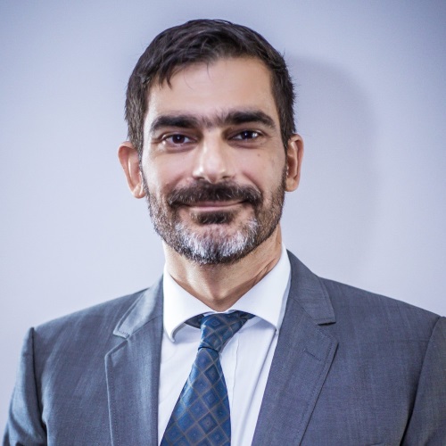
Dimitrios Skarlatos, is Professor in the department of Civil Engineering and Geomatics in Cyprus University of Technology, currently he serves as the Vice Dean of the Faculty of Engineering and Technology. He holds a Dipl. Eng. in Rural Surveying from National Technical University of Athens (NTUA), M.Sc. with distinction from University College London (UCL) and a Ph.D. from NTUA in digital photogrammetry. During his studies, he earned scholarships and awards, including 'Diomedes Komninos' award from NTUA, 'Hotine Exhibition Award' from UCL, 'Prize in Photogrammetry' from Royal Institute of Chartered Surveyors (RICS, UK), 'Lambadarios' scholarship (after written exams) and 'Lambadarios' Award (highest GPA in geodetic classes) from Athens Academy, scholarship from National Scholarship Foundation, 'Best diploma thesis award' from Technical Chamber of Greece, and a short scholarship from EuroSDR (European Spatial Data Research Network). He is member in several professional and scientific committees. He has served as member of board in Hellenic Society of Photogrammetry and Remote Sensing (2003-2019), and Vice President of Cypriot Association of Rural and Surveying Engineers for one term (2014-2016). He is the academic representative of Cyprus in EuroSDR (since 2010), co-chair in International Society of Photogrammetry and Remote Sensing, Commission II (2016-2026), Working Group 7 Underwater Data Acquisition and Processing. He is Chair of the Commission of Technologies for Cultural Heritage Geometric Documentation in the Executive Board of CIPA (under ICOMOS & ISPRS) for the period 2024-2028.
For 12 years he worked as free-lance land surveyor in Greece, court expert and technical consultant in geoinformation companies in nationwide projects. During that period he participated as well as in research projects (3 European Research and Innovation Projects, 5 national from General Secretariat for Research and Technology) for archaeological site and monument recording, copies of museum exhibits, real time quality control applications using machine vision, AUAVs for mapping.
During his post in CUT, he has participated or coordinated in research projects with UAV mapping (HawkEye, ArcheoPhoto), UAV coastal mapping and bathymetry (SARCOS, Archaeological Survey on the new marina of Ag. Napa), Parthenon frieze precise 3d modelling (Digitizing Parthenon Frieze), ROV mapping (AQUABOT), mobile mapping platforms (CUT, starting grant), satellite imagery processing (CASCADE, RISKA, SpotOnAcacia). All projects had funding from EU Horizon 2020, EU FP 7, European Regional Development Fund (ERDF), European Union’s ERC, Promotion Foundation of Cyprus, Electricity Authority of Cyprus, Honor Frost Foundation, Dept. of Antiquities of Cyprus. He was coordinator of iMareCulture, a H2020 research and innovation grant, for underwater VR museums. He is PI of CUT in MOBILO project (funded by RPF), for developing a low cost mobile mapping system. He is the lead surveyor in Mazotos shipwreck, underwater excavation, since 2010, Nisia excavation since 2014 and Protaras shipwreck since 2019. He is also developing a micro deformation monitoring system for civil engineering laboratory material and construction analysis.
His main research interests focus on
- the acquisition and processing of 3D data and point clouds using image sequences. This includes underwater, UAV or close range photos. Apart from image based techniques, 3D data acquisition is extended using hand held or terrestrial laser scanning.
His general interests include cultural heritage applications, two-media photogrammetry, aerial, terrestrial and underwater photogrammetry.

